-
×
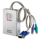 Raritan Dominion 1Port KVM Over IP Switch with Virtual Media
1 × AED2,099.00
Raritan Dominion 1Port KVM Over IP Switch with Virtual Media
1 × AED2,099.00 -
×
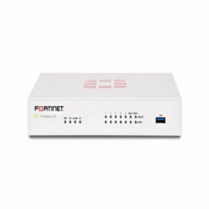
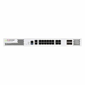 FG-201E - Fortinet NGFW Middle-range Series FortiGate 201E
1 × AED24,699.00
FG-201E - Fortinet NGFW Middle-range Series FortiGate 201E
1 × AED24,699.00 -
×
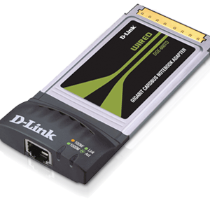 DGE-660TD GIGABIT NOTEBOOK ADAPTER
1 × AED149.00
DGE-660TD GIGABIT NOTEBOOK ADAPTER
1 × AED149.00 -
×
 Raritan Dominion PX Intelligent Remote PDU, 20 x NEMA 5-15R outlets
1 × AED4,199.00
Raritan Dominion PX Intelligent Remote PDU, 20 x NEMA 5-15R outlets
1 × AED4,199.00 -
×
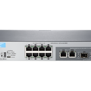 HP 2530-8 Switch
1 × AED1,079.00
HP 2530-8 Switch
1 × AED1,079.00 -
×
 Cisco Router ASR 900 FLS-A901-4=
1 × AED3,099.00
Cisco Router ASR 900 FLS-A901-4=
1 × AED3,099.00 -
×
 HP C4149A Black Print Cartridge for CLJ 8500 /8550 series
1 × AED449.00
HP C4149A Black Print Cartridge for CLJ 8500 /8550 series
1 × AED449.00 -
×
 Sony VPL-ES3, LCD, 2000 lumens, SVGA
1 × AED2,800.00
Sony VPL-ES3, LCD, 2000 lumens, SVGA
1 × AED2,800.00 -
×
 Optoma EH7500 Multimedia Projector in White
1 × AED40,499.00
Optoma EH7500 Multimedia Projector in White
1 × AED40,499.00 -
×
 HP Compaq 373211-001 SATA / SAS Hard Drive Tray / Caddy
1 × AED179.00
HP Compaq 373211-001 SATA / SAS Hard Drive Tray / Caddy
1 × AED179.00 -
×
 LOGITECH HEADSET BLUETOOTH H800
1 × AED359.00
LOGITECH HEADSET BLUETOOTH H800
1 × AED359.00 -
×
 Cisco RV042 4-port 10 / 100 Dual WAN VPN Router
1 × AED599.00
Cisco RV042 4-port 10 / 100 Dual WAN VPN Router
1 × AED599.00 -
×
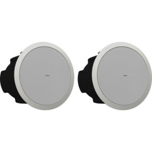 Tannoy CVS 6 Coaxial In-Ceiling Loudspeaker (Pair, 6", White)
1 × AED1,899.00
Tannoy CVS 6 Coaxial In-Ceiling Loudspeaker (Pair, 6", White)
1 × AED1,899.00 -
×
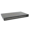 48-port 10/100/1000Mbps Managed L2 Switch with 4-port Combo SFP
1 × AED5,385.00
48-port 10/100/1000Mbps Managed L2 Switch with 4-port Combo SFP
1 × AED5,385.00 -
×
 FG-51E - Fortinet NGFW Entry-level Series FortiGate 51E
1 × AED4,310.00
FG-51E - Fortinet NGFW Entry-level Series FortiGate 51E
1 × AED4,310.00 -
×
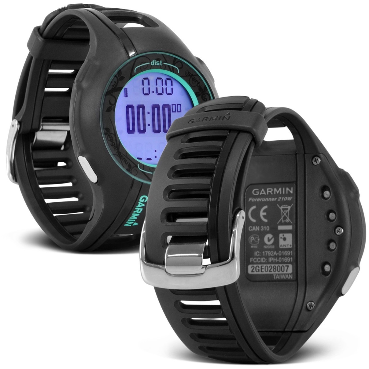
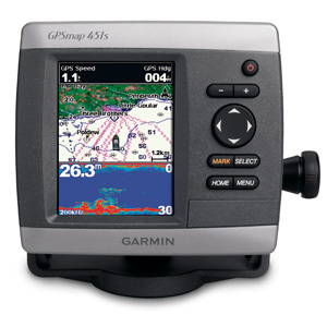 Garmin GPSMAP 451s
1 × AED2,399.00
Garmin GPSMAP 451s
1 × AED2,399.00 -
×
 Dell PowerEdge T310 Intel Xeon X3440 Processor
1 × AED6,439.00
Dell PowerEdge T310 Intel Xeon X3440 Processor
1 × AED6,439.00 -
×
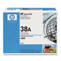 HP LaserJet 4200 series Q1338A Black Print Cartridge
1 × AED599.40
HP LaserJet 4200 series Q1338A Black Print Cartridge
1 × AED599.40 -
×
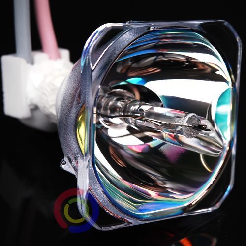 SHARP XR-30X XR-30S XR-40X REPLACEMENT BARE LAMP AN-XR30LP
1 × AED399.00
SHARP XR-30X XR-30S XR-40X REPLACEMENT BARE LAMP AN-XR30LP
1 × AED399.00 -
×
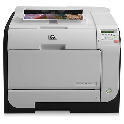 HP LaserJet Pro 400 color Printer M451nw CE956A
1 × AED1,699.00
HP LaserJet Pro 400 color Printer M451nw CE956A
1 × AED1,699.00 -
×
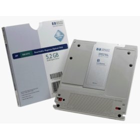 HP 5.2GB rewritable optical disk,2048bps Formatted
1 × AED189.00
HP 5.2GB rewritable optical disk,2048bps Formatted
1 × AED189.00 -
×
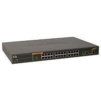 24-port PoE 10/100Mpbs Smart Switch with 2 Combo Copper
1 × AED2,163.00
24-port PoE 10/100Mpbs Smart Switch with 2 Combo Copper
1 × AED2,163.00
Subtotal: AED105,690.40
 04 3550600
 052 7036860


There are no reviews yet.