No products in the cart.
 04 3550600
 052 7036860

On The Trail
Garmin Oregon 450 with preloaded Worldwide basemap
Availability:
8 in stock
د.إ1,239.00
8 in stock
Oregon 450 features a rugged, sunlight-readable touchscreen along with a built-in basemap with shaded relief, a high-sensitivity receiver, barometric altimeter, 3-axis electronic compass, microSD™ card slot, picture viewer and more.
Touch and Go
Oregon 450 leads the way with a tough, 3-inch diagonal, sunlight-readable, color, touchscreen display that offers crystal clear enhanced colors and high-resolution images. Its easy-to-use interface means you’ll spend more time enjoying the outdoors and less time searching for information. Customize the display with an array of dashboards. Both durable and waterproof, Oregon 450 is built to withstand the elements. Bumps, dust, dirt, humidity and water are no match for this rugged navigator.
Explore More
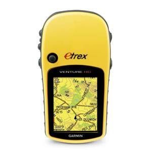
Oregon 450 comes with a built-in worldwide basemap with shaded contours. Simply touch the color screen to navigate. Its digital elevation maps show you shaded contours at higher zoom levels, giving you a big picture of the surrounding terrain.
Get Your Bearings
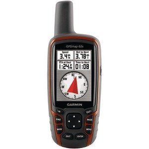
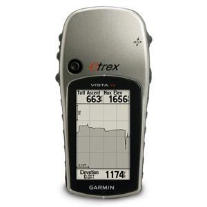
Oregon 450 has a built-in 3-axis tilt-compensated electronic compass, which shows your heading even when you’re standing still, without holding it level. Its barometric altimeter tracks changes in pressure to pinpoint your precise altitude, and you can even use it to plot barometric pressure over time, which can help you keep an eye on changing weather conditions. See changes in your elevation ahead of you and where you’ve been with enhanced track navigation. With its high-sensitivity, WAAS-enabled GPS receiver and HotFix® satellite prediction, Oregon 450 locates your position quickly and precisely and maintains its GPS location even in heavy cover and deep canyons.
Share Wirelessly
With Oregon 450 you can share your waypoints, tracks, routes and geocaches wirelessly with other compatible Oregon, Colorado and Dakota devices. Send your favorite hike to your friend to enjoy or the location of a cache to find. Just touch “send” to transfer your information.
Add Maps
Adding more maps to Oregon is easy. Load TOPO U.S. 24K maps and hit the trail, plug in BlueChart® g2preloaded cards for a great day on the water or load City Navigator map data for turn-by-turn routing on roads (see maps tab for compatible maps). Add satellite images to your maps with BirdsEye Satellite Imagery (subscription required).
Find Fun
Oregon 450 supports OpenCaching.com GPX files for downloading geocaches and details straight to your unit. By going paperless, you’re not only helping the environment but also improving efficiency. Oregon stores and displays key information, including location, terrain, difficulty, hints and descriptions, which means no more manually entering coordinates and paper print outs! Simply upload the GPX file to your unit and start hunting for caches. Show off photos of your excursions with Oregon’s picture viewer. Slim and lightweight, Oregon is the perfect companion for all your outdoor pursuits.
Plan Your Next Trip
Take charge of your next adventure with BaseCamp™, software that lets you view and organize maps, waypoints, routes, and tracks. This free trip-planning software even allows you to create Garmin Adventures that you can share with friends, family or fellow explorers. BaseCamp displays topographic map data in 2-D or 3-D on your computer screen, including contour lines and elevation profiles. It also can transfer an unlimited amount of satellite images to your device when paired with a BirdsEye Satellite Imagery subscription.
Specifications
Physical & Performance: |
|
| Unit dimensions, WxHxD: | 2.3″ x 4.5″ x 1.4″ (5.8 x 11.4 x 3.5 cm) |
| Display size, WxH: | 1.53″W x 2.55″H (3.8 x 6.3 cm); 3″ diag (7.6 cm) |
| Display resolution, WxH: | 240 x 400 pixels |
| Display type: | transflective color TFT touchscreen |
| Weight: | 6.8 oz (192.7 g) with batteries |
| Battery: | 2 AA batteries (not included); NiMH or Lithium recommended |
| Battery life: | 16 hours |
| Waterproof: | yes (IPX7) |
| Floats: | no |
| High-sensitivity receiver: | yes |
| Interface: | high-speed USB and NMEA 0183 compatible |
Maps and Memory: |
|
| Basemap: | yes |
| Preloaded maps: | no |
| Ability to add maps: | yes |
| Built-in memory: | 850 MB |
| Accepts data cards: | microSD™ card (not included) |
| Waypoints/favorites/locations: | 2000 |
| Routes: | 200 |
| Track log: | 10,000 points, 200 saved tracks |
Features and Benefits: |
|
| Automatic routing (turn by turn routing on roads): | yes (with optional mapping for detailed roads) |
| Electronic compass: | yes (tilt-compensated, 3-axis) |
| Touchscreen: | yes |
| Barometric altimeter: | yes |
| Camera: | no |
| Geocaching-friendly: | yes (paperless) |
| Custom maps compatible: | yes |
| Photo navigation (navigate to geotagged photos): | yes |
| Hunt/fish calendar: | yes |
| Sun and moon information: | yes |
| Tide tables: | yes |
| Area calculation: | yes |
| Custom POIs (ability to add additional points of interest): | yes |
| Unit-to-unit transfer (shares data wirelessly with similar units): | yes |
| Picture viewer: | yes |
| Garmin Connect™ compatible (online community where you analyze, categorize and share data): | yes |

There are no reviews yet.