-
×
 HP LaserJet 2410/2420/2430 Q6511A Black Print Cartridge
2 × د.إ479.00
HP LaserJet 2410/2420/2430 Q6511A Black Print Cartridge
2 × د.إ479.00 -
×
 SEAGATE CENTRAL 4TB NETWORK
1 × د.إ959.00
SEAGATE CENTRAL 4TB NETWORK
1 × د.إ959.00 -
×
 SOMIC HEADSET WITH MIC BACK NECK - MOBILE/PC/NETBOOK IS-R15V
1 × د.إ39.00
SOMIC HEADSET WITH MIC BACK NECK - MOBILE/PC/NETBOOK IS-R15V
1 × د.إ39.00 -
×
 HP C9700A Black Toner Cartridge HP Color LaserJet 1500 & 2500
1 × د.إ309.00
HP C9700A Black Toner Cartridge HP Color LaserJet 1500 & 2500
1 × د.إ309.00 -
×
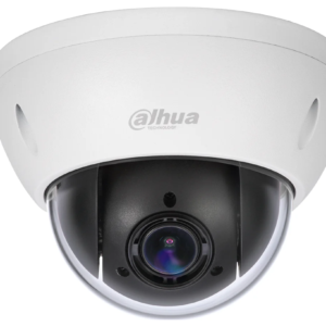
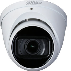
 Hanwha SCV-6085R 2MP Analog IR Vandal Dome Camera
1 × د.إ1,299.00
Hanwha SCV-6085R 2MP Analog IR Vandal Dome Camera
1 × د.إ1,299.00 -
×
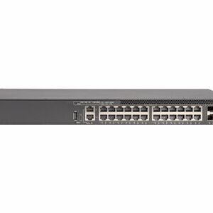 Ruckus ICX 8200 - switch - 24 ports - managed - rack-mountable
1 × د.إ14,099.00
Ruckus ICX 8200 - switch - 24 ports - managed - rack-mountable
1 × د.إ14,099.00 -
×
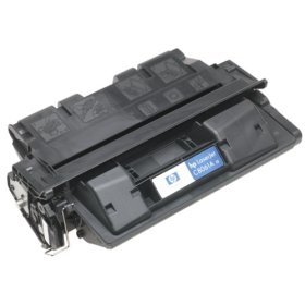 HP LaserJet 4100 series C8061A Black Print Cartridge
1 × د.إ399.00
HP LaserJet 4100 series C8061A Black Print Cartridge
1 × د.إ399.00 -
×
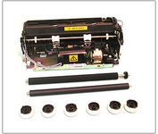
 HP C8057A 110V LJ4100 MAINTENANCE KIT
1 × د.إ1,299.00
HP C8057A 110V LJ4100 MAINTENANCE KIT
1 × د.إ1,299.00 -
×
 HP C3903A Black Print Cartridge for HP LJ 6P 6MP series
1 × د.إ329.00
HP C3903A Black Print Cartridge for HP LJ 6P 6MP series
1 × د.إ329.00 -
×
 HGST 0TS1393 480GB SED SAS Solid State Drive
1 × د.إ4,499.00
HGST 0TS1393 480GB SED SAS Solid State Drive
1 × د.إ4,499.00 -
×
 HP C7115A Black Print Cartridge for LJ 1000 1200 1005 4014 3300
1 × د.إ399.00
HP C7115A Black Print Cartridge for LJ 1000 1200 1005 4014 3300
1 × د.إ399.00 -
×
 Plantronics Voyager Stereo 4220 UC Bluetooth Headset with USB Type-A Adapter
1 × د.إ699.00
Plantronics Voyager Stereo 4220 UC Bluetooth Headset with USB Type-A Adapter
1 × د.إ699.00 -
×
 Philips D-Line Display Series 43" UHD 4K Commercial Monitor
1 × د.إ3,499.00
Philips D-Line Display Series 43" UHD 4K Commercial Monitor
1 × د.إ3,499.00 -
×
 Dahua 22204ICLB - 2MP 4x CVI PTZ camera
1 × د.إ1,999.00
Dahua 22204ICLB - 2MP 4x CVI PTZ camera
1 × د.إ1,999.00 -
×
 Seagate Barracuda® XT 3.5 2 TB Internal Desktop Drive
1 × د.إ499.00
Seagate Barracuda® XT 3.5 2 TB Internal Desktop Drive
1 × د.إ499.00 -
×
 PHANTOM I 103 DB
1 × د.إ11,099.00
PHANTOM I 103 DB
1 × د.إ11,099.00 -
×
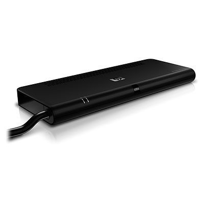 HP QuickDock 2.0 Docking Station (KN745AA)
1 × د.إ999.00
HP QuickDock 2.0 Docking Station (KN745AA)
1 × د.إ999.00 -
×
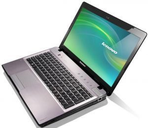 LENOVO G580 59-367801
1 × د.إ2,099.00
LENOVO G580 59-367801
1 × د.إ2,099.00 -
×
 Micron MTFDJAL1T9MBT-2AN1ZABYY 1.92TB SAS Solid State Drive
2 × د.إ10,299.00
Micron MTFDJAL1T9MBT-2AN1ZABYY 1.92TB SAS Solid State Drive
2 × د.إ10,299.00 -
×
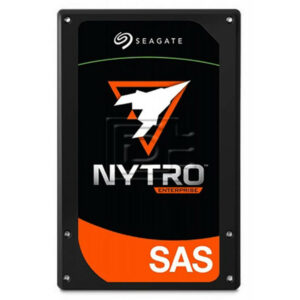 Seagate XS15360TE70003 15.36TB SAS Solid State Drive
1 × د.إ33,999.00
Seagate XS15360TE70003 15.36TB SAS Solid State Drive
1 × د.إ33,999.00 -
×
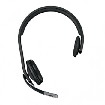 MICROSOFT HEADSET WIRED LIFECHAT LX-4000- USB/ MONO/ LYNC
1 × د.إ249.00
MICROSOFT HEADSET WIRED LIFECHAT LX-4000- USB/ MONO/ LYNC
1 × د.إ249.00 -
×
 V270 Cordless Notebooks Mouse for Bluetooth (Light Silver)
1 × د.إ189.00
V270 Cordless Notebooks Mouse for Bluetooth (Light Silver)
1 × د.إ189.00 -
×
 Lexmark Optra T616 maintenance kit
2 × د.إ1,439.00
Lexmark Optra T616 maintenance kit
2 × د.إ1,439.00 -
×
 My Passport Essential 1TB USB 3.0
1 × د.إ299.00
My Passport Essential 1TB USB 3.0
1 × د.إ299.00 -
×
 Dahua A52BJAZ Wide 5MP HDCVI IR Eyeball 2.7-13.5mm Multi-format Starlight
1 × د.إ1,099.00
Dahua A52BJAZ Wide 5MP HDCVI IR Eyeball 2.7-13.5mm Multi-format Starlight
1 × د.إ1,099.00 -
×
 Plextor S3 PX-128S3G 128GB M.2 2280 6Gbps TLC SATA SSD
1 × د.إ199.00
Plextor S3 PX-128S3G 128GB M.2 2280 6Gbps TLC SATA SSD
1 × د.إ199.00 -
×
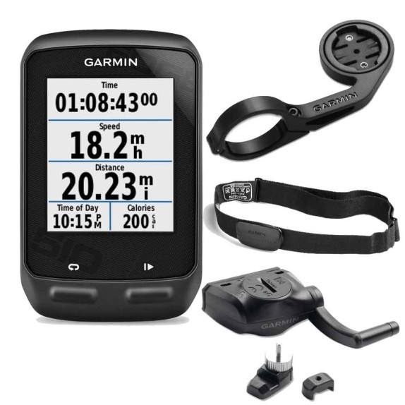
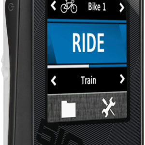 Garmin Edge 510 GPS Bike Computer
1 × د.إ1,499.00
Garmin Edge 510 GPS Bike Computer
1 × د.إ1,499.00 -
×
 V200 Cordless Notebook Mouse (black)
1 × د.إ149.00
V200 Cordless Notebook Mouse (black)
1 × د.إ149.00 -
×
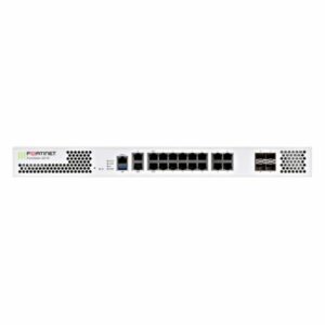 FG-201E - Fortinet NGFW Middle-range Series FortiGate 201E
1 × د.إ24,699.00
FG-201E - Fortinet NGFW Middle-range Series FortiGate 201E
1 × د.إ24,699.00 -
×
 Fortinet | FortiGate 30E Next-Generation Network Security UTM Firewall FG-30E
1 × د.إ2,599.00
Fortinet | FortiGate 30E Next-Generation Network Security UTM Firewall FG-30E
1 × د.إ2,599.00 -
×
 Garmin Approach G8 Golf Course GPS
1 × د.إ1,499.00
Garmin Approach G8 Golf Course GPS
1 × د.إ1,499.00 -
×
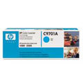 HP C9701A Cyan Toner Cartridge f0r1500 & 2500 series
1 × د.إ369.00
HP C9701A Cyan Toner Cartridge f0r1500 & 2500 series
1 × د.إ369.00 -
×
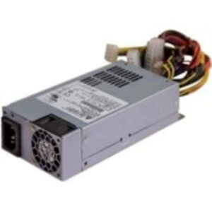 QNAP 250W Delta Power Supply
1 × د.إ599.00
QNAP 250W Delta Power Supply
1 × د.إ599.00 -
×
 Speco Technologies SPE-HT7248TM2 2MP HD-TVI Intensifier T Camera, 2.7-12mm Motorized Lens, Grey housing, Included
1 × د.إ2,799.00
Speco Technologies SPE-HT7248TM2 2MP HD-TVI Intensifier T Camera, 2.7-12mm Motorized Lens, Grey housing, Included
1 × د.إ2,799.00 -
×
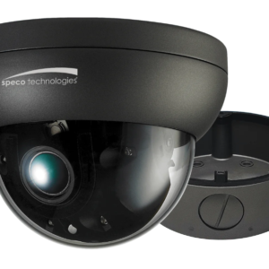
 Speco Technologies SPE-HTD5TG 5MP HD-TVI Dome, IR, 2.8mm lens, Grey housing, Included Junc Box, TAA
1 × د.إ1,799.00
Speco Technologies SPE-HTD5TG 5MP HD-TVI Dome, IR, 2.8mm lens, Grey housing, Included Junc Box, TAA
1 × د.إ1,799.00 -
×
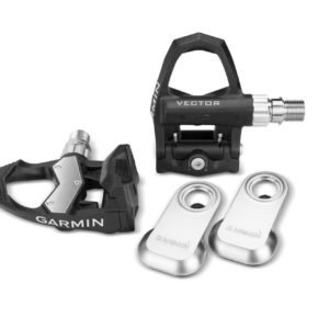 Garmin Vector Powermeter Pedals, standard or large Crank Width
2 × د.إ6,399.00
Garmin Vector Powermeter Pedals, standard or large Crank Width
2 × د.إ6,399.00 -
×
 HGST0TS1407 7.68TB SE SAS Solid State Drive
1 × د.إ37,499.00
HGST0TS1407 7.68TB SE SAS Solid State Drive
1 × د.إ37,499.00 -
×
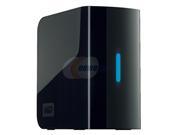 WD My Book Essential 2 TB USB 2.0
1 × د.إ599.00
WD My Book Essential 2 TB USB 2.0
1 × د.إ599.00 -
×
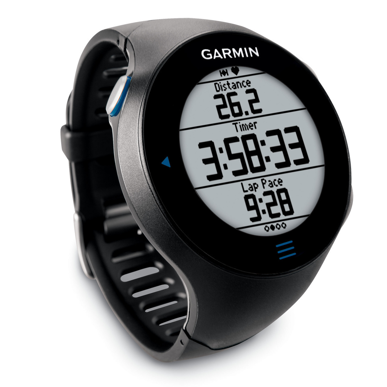
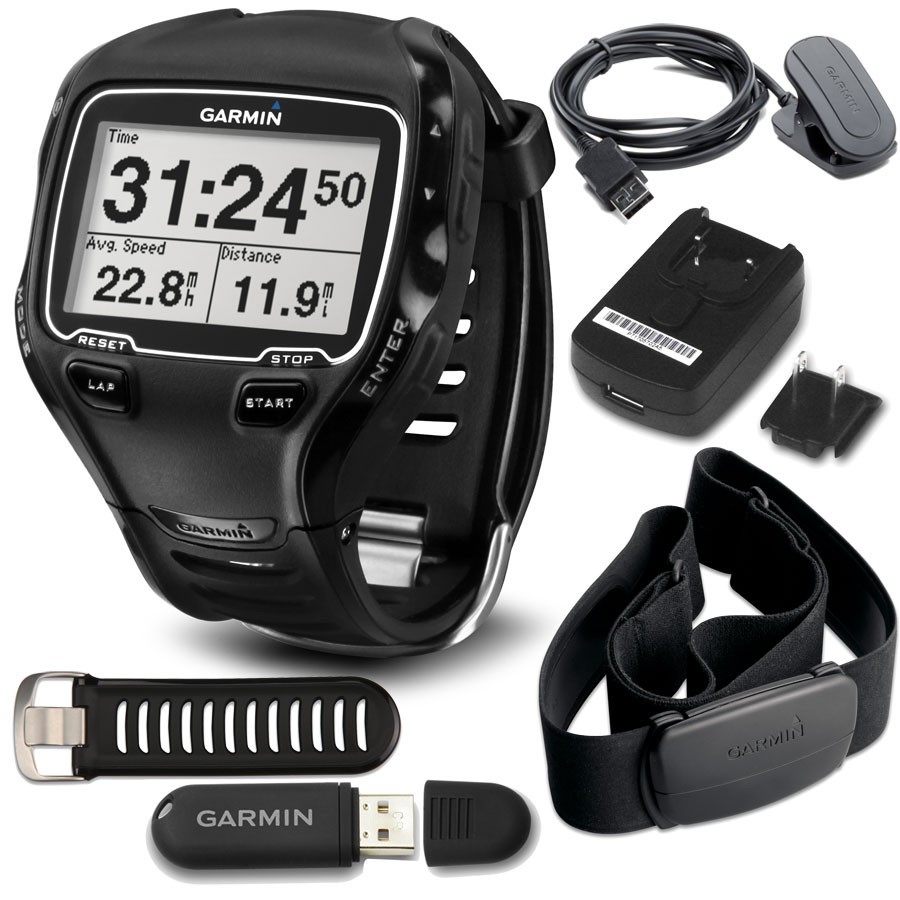 Garmin Forerunner 910XT GPS-Enabled Sport Watch
1 × د.إ1,699.00
Garmin Forerunner 910XT GPS-Enabled Sport Watch
1 × د.إ1,699.00 -
×
 HP LaserJet 8100/8150 series C4182X Black Print Cartridge
1 × د.إ859.70
HP LaserJet 8100/8150 series C4182X Black Print Cartridge
1 × د.إ859.70 -
×
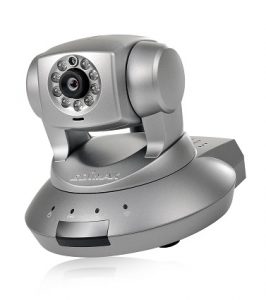 Edimax Ip Camera : Wired 1.3Mega Pixel Tripplel Mode
1 × د.إ1,329.00
Edimax Ip Camera : Wired 1.3Mega Pixel Tripplel Mode
1 × د.إ1,329.00 -
×
 Garmin Edge 810 GPS Enabled Cycling Computer
1 × د.إ1,699.00
Garmin Edge 810 GPS Enabled Cycling Computer
1 × د.إ1,699.00
Subtotal: د.إ197,484.70
 04 3550600
 052 7036860


There are no reviews yet.