-
×
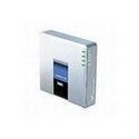 Linksys SPA 2102 1-Port Router with 2 Phone Ports
1 × AED299.00
Linksys SPA 2102 1-Port Router with 2 Phone Ports
1 × AED299.00 -
×
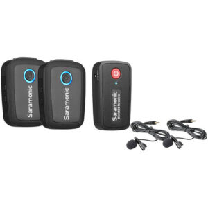 Saramonic Blink 500 B2 2-Person Digital Camera-Mount Wireless Omni Lavalier Microphone System (2.4 GHz)
1 × AED999.00
Saramonic Blink 500 B2 2-Person Digital Camera-Mount Wireless Omni Lavalier Microphone System (2.4 GHz)
1 × AED999.00 -
×
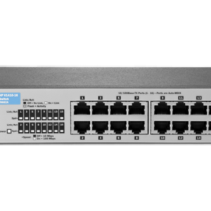 HP 1410-16 Switch
1 × AED309.00
HP 1410-16 Switch
1 × AED309.00 -
×
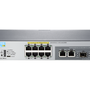 HP 2530-8G-PoE+ Switch
1 × AED2,059.00
HP 2530-8G-PoE+ Switch
1 × AED2,059.00 -
×
 ARUBA ANT-3X3-D608 ANTENNA - DUAL BAND, 60 DEGREE SECTOR, 8 DBI, ±45 AND VERT POLARIZATION, 3 ELEMENT MIMO,3 X N-TYPE FEMALE
1 × AED2,879.00
ARUBA ANT-3X3-D608 ANTENNA - DUAL BAND, 60 DEGREE SECTOR, 8 DBI, ±45 AND VERT POLARIZATION, 3 ELEMENT MIMO,3 X N-TYPE FEMALE
1 × AED2,879.00 -
×
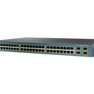 Cisco WS-C3560-48PS-E
1 × AED16,999.00
Cisco WS-C3560-48PS-E
1 × AED16,999.00 -
×
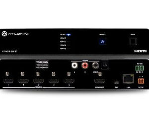 Atlona AT-HDR-SW-51 4K HDR Five-Input HDMI Switcher
1 × AED3,499.00
Atlona AT-HDR-SW-51 4K HDR Five-Input HDMI Switcher
1 × AED3,499.00 -
×
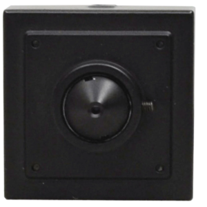 Speco Technologies SPE-HT7PHT 2MP HD-TVI Multi Format Pinhole Color Camera, 3.7mm lens
1 × AED999.00
Speco Technologies SPE-HT7PHT 2MP HD-TVI Multi Format Pinhole Color Camera, 3.7mm lens
1 × AED999.00 -
×
 Netgear 10/100 Fast Laptop Card
1 × AED78.00
Netgear 10/100 Fast Laptop Card
1 × AED78.00 -
×
 Garmin Zumo 590LM Motorcycle GPS
1 × AED2,999.00
Garmin Zumo 590LM Motorcycle GPS
1 × AED2,999.00 -
×
 TP-LINK BROADBAND ROUTER W/4 P
1 × AED80.00
TP-LINK BROADBAND ROUTER W/4 P
1 × AED80.00 -
×
HPE 804631-B21 1.6TB 6Gbps 2.5in Mixed Use SFF Enterprise SATA Solid State Drive SSD
1 × AED4,099.00
-
×
 Dell 400-ATHX 3.84TB SAS Hybrid Solid State Drive Kit X7K8W / Y004G PM1633a
1 × AED6,999.00
Dell 400-ATHX 3.84TB SAS Hybrid Solid State Drive Kit X7K8W / Y004G PM1633a
1 × AED6,999.00 -
×
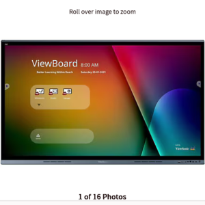 ViewSonic ViewBoard IFP6562 - 4K UHD Interactive Display with Integrated Software, 65W USB C, RJ45 - 350 cd/m2 - 65"
1 × AED28,999.00
ViewSonic ViewBoard IFP6562 - 4K UHD Interactive Display with Integrated Software, 65W USB C, RJ45 - 350 cd/m2 - 65"
1 × AED28,999.00 -
×
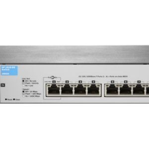 HP 1810-8G Switch
1 × AED429.00
HP 1810-8G Switch
1 × AED429.00 -
×
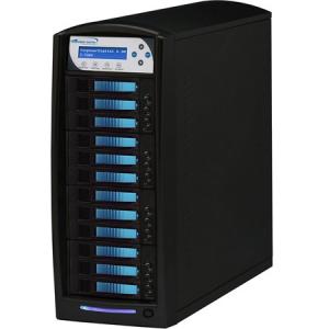 VINPOWER DIGITAL HDDSHARK 11 TARGET STANDALONE HARD DRIVE SSD DUPLICATOR COPIER HDDSHARK-11T-BK
1 × AED7,399.00
VINPOWER DIGITAL HDDSHARK 11 TARGET STANDALONE HARD DRIVE SSD DUPLICATOR COPIER HDDSHARK-11T-BK
1 × AED7,399.00 -
×
 External HLSMPEA5001ABB HITACHI-BRAND 0S02720
1 × AED419.00
External HLSMPEA5001ABB HITACHI-BRAND 0S02720
1 × AED419.00 -
×
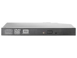 HP 12.7mm Slim SATA DVD-RW JackBlack Optical Drive
1 × AED399.00
HP 12.7mm Slim SATA DVD-RW JackBlack Optical Drive
1 × AED399.00 -
×
 Dell 900GB SAS 6Gbps 10k 2.5" Rear HD Fully Assembled in Standard Carrier, C8220X
1 × AED2,499.00
Dell 900GB SAS 6Gbps 10k 2.5" Rear HD Fully Assembled in Standard Carrier, C8220X
1 × AED2,499.00 -
×
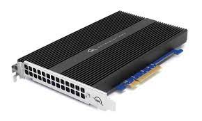 OWC Accelsior 4M2 NVMe SSD Enclosure
1 × AED1,399.00
OWC Accelsior 4M2 NVMe SSD Enclosure
1 × AED1,399.00 -
×
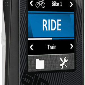
 Garmin Forerunner 910XT GPS-Enabled Sport Watch
1 × AED1,699.00
Garmin Forerunner 910XT GPS-Enabled Sport Watch
1 × AED1,699.00
Subtotal: AED85,539.00
 04 3550600
 052 7036860


There are no reviews yet.